Zoning & Mapping Services
1. Introduction
Savannah Conservation Africa specializes in comprehensive mapping and zoning services tailored for private game reserves, national parks, conservancies, nature reserves, and biosphere reserves. By integrating advanced geospatial technologies, ecological assessments, and sustainable land-use planning, we support the effective management of protected areas across Africa.
2. Mapping and Zoning Methodologies
Our approach is grounded in scientific methodologies and state-of-the-art technologies, ensuring accurate spatial representation and ecological zoning. Our methodology encompasses the following key components:
2.1. Remote Sensing and Aerial Surveying
Satellite Imagery (e.g., Landsat, Sentinel-2, MODIS): Provides high-resolution land cover and vegetation analysis.
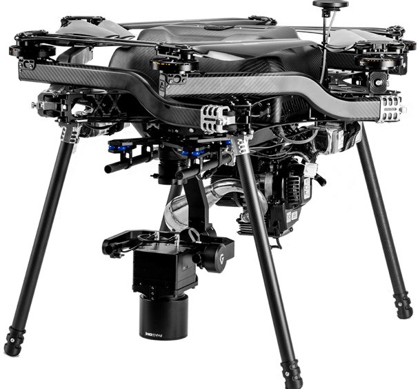
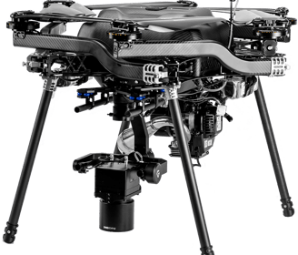
Aerial Drone Mapping: Utilizes UAVs equipped with LiDAR, multispectral, and thermal cameras to capture real-time topographic and ecological data.
Geospatial Information System (GIS) Analysis: Processes spatial data using software like ArcGIS, QGIS, and Google Earth Pro.
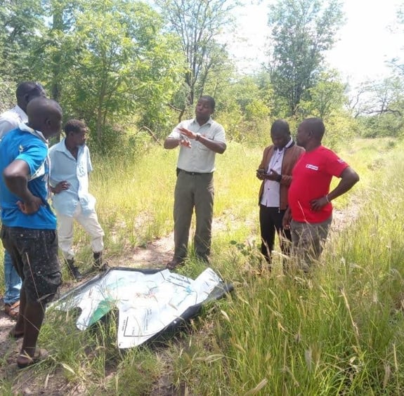
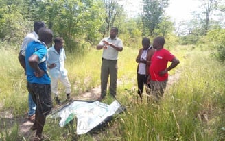
2.2. Ground-Truthing and Field Surveys
Ecological Surveys: Biodiversity assessments, habitat mapping, and wildlife movement analysis.
Soil and Hydrology Analysis: Evaluates soil composition, drainage patterns, and water bodies for sustainable land use.
Stakeholder Engagement: Incorporates traditional ecological knowledge (TEK) from local communities and conservationists.
3. Technologies and Software Utilized
To achieve precision in mapping and zoning, we employ cutting-edge technologies and software, including:
GIS Software: ArcGIS, QGIS, MapInfo, Global Mapper
Remote Sensing Tools: Google Earth Engine, ENVI, ERDAS Imagine
LiDAR Technology: For high-resolution elevation modeling and terrain analysis.
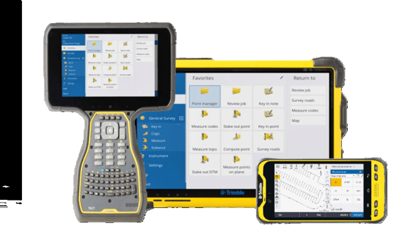
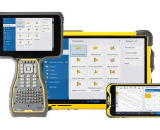
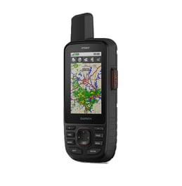
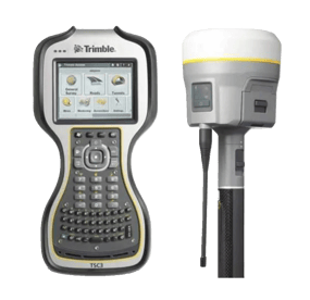
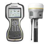
GPS and Mobile Data Collection: Trimble GPS units, GIS Pro, and ODK Collect for in-field data gathering.
Artificial Intelligence & Machine Learning: Used in predictive habitat modeling and spatial pattern analysis.
4. Key Factors Considered in Mapping and Zoning
Our mapping and zoning services take into account a wide range of ecological, socio-economic, and legal factors to ensure long-term sustainability:
4.1. Ecological Considerations
Wildlife Corridors and Migration Paths: Identifying critical habitats and movement corridors to mitigate human-wildlife conflict.
Habitat Fragmentation Analysis: Preventing landscape degradation through strategic zoning.
Carbon Sequestration and Climate Adaptation: Promoting areas for afforestation and carbon offset initiatives.
4.2. Socio-Economic and Human-Wildlife Interaction
Community Land Use and Livelihoods: Balancing conservation efforts with local economic activities such as ecotourism and sustainable agriculture.
Eco-Tourism and Recreational Zoning: Delineating areas for tourism infrastructure while preserving ecological integrity.
Anti-Poaching and Security Planning: Using spatial analytics to optimize patrol routes and detect illicit activities.
4.3. Regulatory and Legal Frameworks
Environmental Protection Laws: Compliance with national and international conservation regulations (e.g., CITES, Ramsar Convention).
Protected Area Governance: Aligning zoning plans with the IUCN categories of protected areas.
Land Tenure and Rights Mapping: Ensuring fair land-use planning while integrating indigenous and customary land rights.
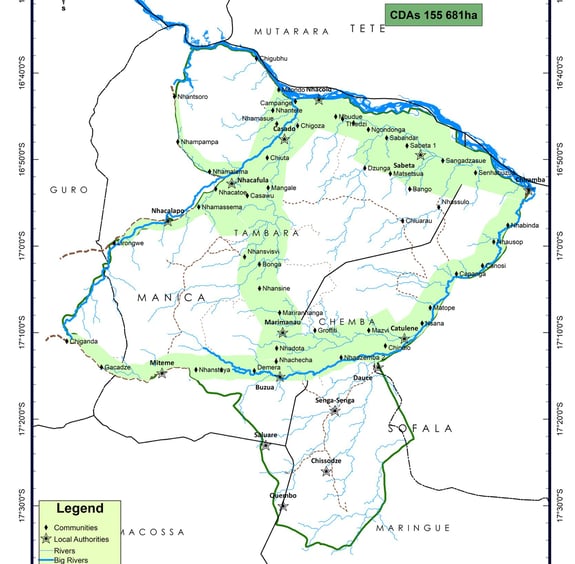
5. Zoning Categories and Land-Use Planning
We develop zoning frameworks that accommodate both conservation and sustainable utilization, including:
Core Conservation Areas: Strictly protected zones with minimal human interference.
Buffer Zones: Areas that reduce human-wildlife conflicts and provide sustainable land use.
Sustainable Utilization Zones: Managed areas for controlled activities such as eco-tourism, research, and community-based conservation.
Restoration Zones: Designated for reforestation, habitat restoration, and wildlife rehabilitation.
6. Conclusion
Savannah Conservation Africa employs a data-driven, multidisciplinary approach to mapping and zoning protected areas. By leveraging geospatial technologies, ecological assessments, and stakeholder engagement, we provide holistic and sustainable land-use planning solutions that enhance conservation efforts and biodiversity protection in Africa.
Through our services, we enable governments, conservation organizations, and private stakeholders to make informed decisions, optimize resource management, and promote ecological sustainability for future generations.